http://www.erh.noaa.gov/btv/events/28Oct2008/ua2.php
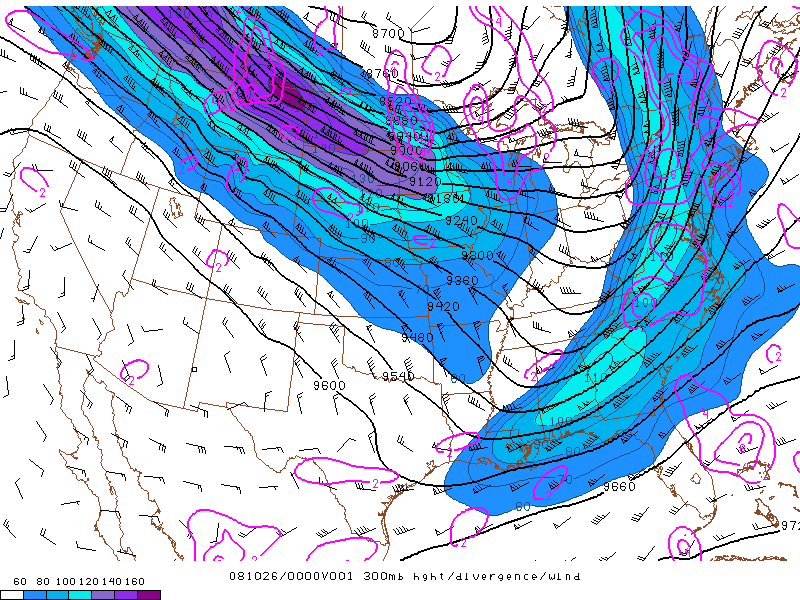
Isotach maps are much like a topographic map, isotach maps can show multiple different types of data. Mostly used to display details about wind, each detail in an istoach map shows something about wind. The black lines, (Isobars) show pressure changes, and the other bars show wind speed and direction. Also the color is used to show places that have the same wind speed.
No comments:
Post a Comment